The Mountain Thread | Estes Park Newsletter | July 16, 2026 |
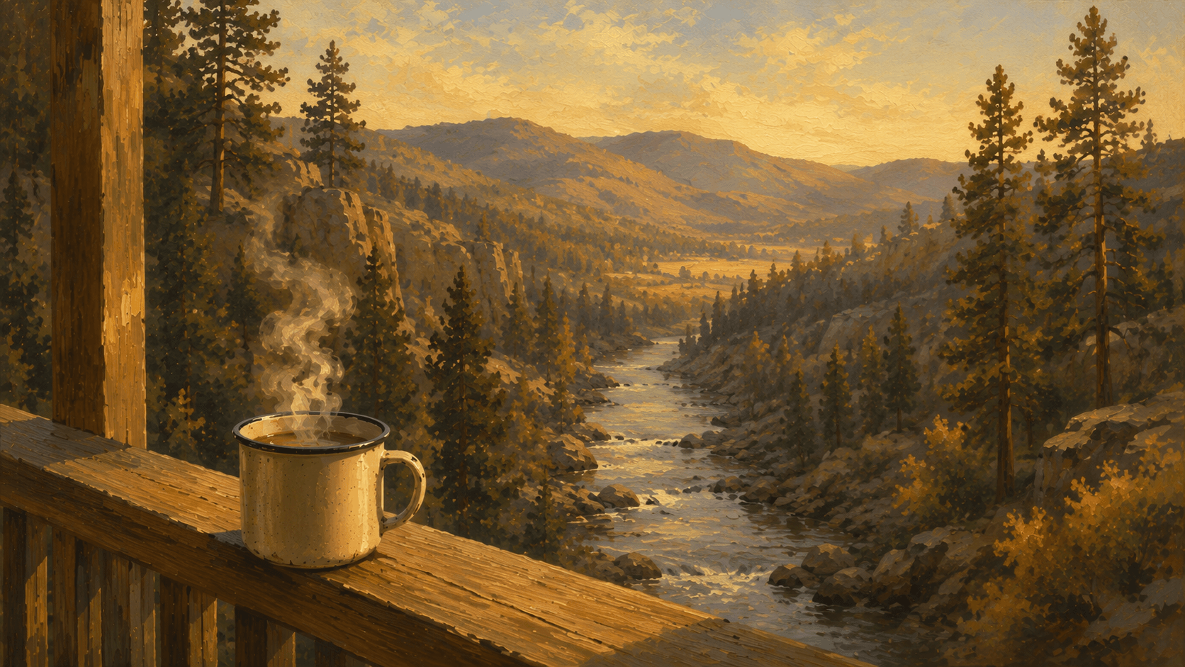 |
BEFORE THE COFFEE GETS COLD Moe came by the porch Thursday afternoon and asked why the river sounded different this year. "Different how," I said. "Much quieter," he said. "It's been a dry one," I told him. "Not much snow to speak of, and the fire signs have been up since May." He looked out at the water a while. "Feels like it's never been this quiet." "Depends how far back you want to go," I said. "Fifty years ago this month, this same stretch of river did something you wouldn't believe." That got his attention. This is a good week to be in Estes Park. SIT DOWN. THIS ONE'S GOOD. |
Why Is the Big Thompson Running So Low This Summer?
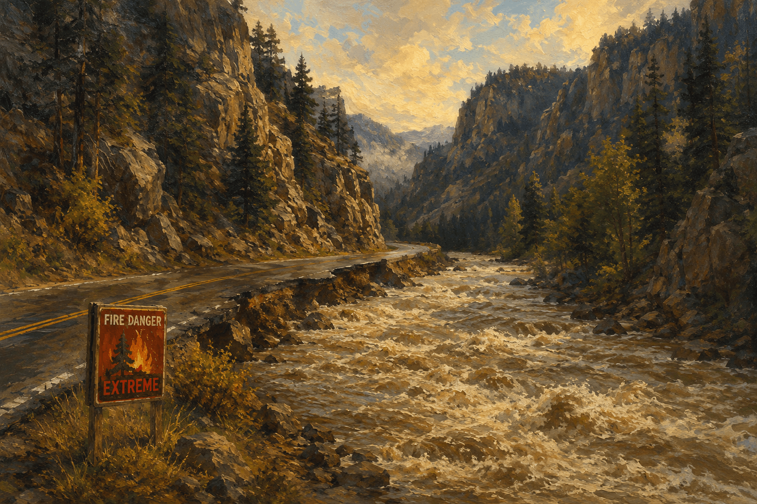
It comes down to snow that never showed up. Colorado had one of its driest winters in years, and the state's governor activated Phase 2 of the drought response plan back in March 2026 over low snowpack and high temperatures. Below Lake Estes, the river is running and water is released out of Olympus Dam. It's clear, it's calm, and the fishing report calls it some of the best water of the summer. Stage 2 fire restrictions have been in place across Larimer County since late May and are extended through July 21. No campfires, no charcoal grills, no open flame.
What Actually Happened on July 31, 1976?It wasn't a wet year either, and that's the part people forget. July 31, 1976 started as an ordinary summer evening, campers in the canyon, families driving back from the weekend, the river running its normal warm season flow. A thunderstorm stalled over the Big Thompson drainage and stayed there, dropping inches of rain onto steep rock that couldn't absorb it. In some stretches, the river went from a few feet deep to 15 to 19 feet in under an hour. More than 140 people died or went missing that night, hundreds more were injured, and the damage ran into tens of millions of dollars. It's still one of the deadliest natural disasters in Colorado history.
Has the Canyon Flooded the Highway Before?More than once, as it turns out. Early 1900s floods tore at the old dirt road before crews finally paved a two lane U.S. 34 through the canyon in 1938. Then came 1976. Then, in September 2013, days of heavy rain sent another surge down the canyon, washing out sections of the highway again, damaging bridges, and forcing more than 100 people to be airlifted out. Lay the dates next to each other, early damage, 1938, 1976, 2013, and it stops looking like bad luck and starts looking like a pattern.
What Does the 50-Year Mark Mean for a Town That Still Remembers?Read More... |
Trivia Question❓During the July 31, 1976 flood, how high did some stretches of the Big Thompson River rise in less than an hour? (Answer at the bottom of this issue) Answer at the bottom of the newsletter |
 |
| ★★★★★ |
|
|
|
RMNP UPDATE
Trail Ridge Road is open to through travel. Timed entry reservations are required between 9 a.m. and 2 p.m. for general park access, and between 5 a.m. and 6 p.m. for the Bear Lake Road Corridor. July 4th weekend is one of the busiest stretches of the entire year in the park. Go before 9 a.m., or plan to return after 2 p.m. Both strategies work.
Old Fall River Road opened to vehicles for the season on July 4 and runs one-way uphill from the West Alluvial Fan area to Endovalley. Verify current status at nps.gov/romo or call 970-586-1222 before heading up. The phone line is updated more reliably than the website.
Stage 2 Fire Restrictions are in effect throughout the Estes Valley and in Rocky Mountain National Park. No campfires, no charcoal or wood grills, no open flames of any kind. Afternoon thunderstorms are now the daily summer pattern above treeline. Start early and be off exposed ridgelines before early afternoon. |
DID YOU KNOW?
The two-lane paved version of U.S. 34 through the Big Thompson Canyon wasn't dedicated until 1938. Before that, it was a rough dirt route that had already been chewed up by earlier floods in the early 1900s. (Source: National Park Service)
The Big Thompson River you see today below Lake Estes isn't a wild, unmanaged flow. It's regulated by releases from Olympus Dam, part of the larger Colorado-Big Thompson Project that moves water across the Continental Divide for use on the Front Range. (Source: USGS)
The September 2013 flood wasn't isolated to the Big Thompson Canyon. It hit river systems across northern Colorado, and repairs to Highway 34 alone took years to fully complete. (Source: Colorado Department of Transportation)
Colorado's governor activated Phase 2 of the state's Drought Response Plan in March 2026, the result of one of the lowest snowpack years the state has seen in some time. (Source: Colorado Water Conservation Board) |
Buck's Joke Of The Day |
A woman asked if s'mores were still on the menu. I told her the marshmallow's not the problem. The fire underneath it is. (Stage 2 fire restrictions prohibit campfires and charcoal grills across Larimer County through at least July 21, 2026.) |
💡 Answer to Trivia Question: In some stretches, the Big Thompson River rose from a few feet deep to between 15 and 19 feet in under an hour during the July 31, 1976 flood. (Source: USGS) |
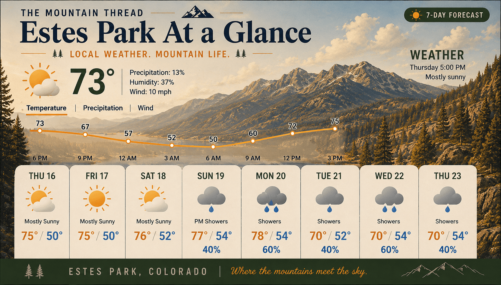
UNTIL NEXT WEEK "So which one am I supposed to worry about," Moe asked. "The fire or the flood." "Depends on the week," I said. "This week, both signs are up for a reason." Trail Ridge is open, the farmers market was a big hit today, and rain looks like it's finally headed our way by the back half of next week. Stage 2 restrictions stay in effect regardless. Stay smart, stay safe, and leave the mountains the way you found them. . .- Buck Timber The Mountain Thread themountainthread.com/signup |
This account draws from the National Weather Service, USGS, Larimer County fire-restriction records, and Big Thompson flood history archives. The broad facts are solid. The conversation with Moe is just how I tell it - Buck |
Share The Mountain Thread with someone who loves this valley. themountainthread.com/signup |